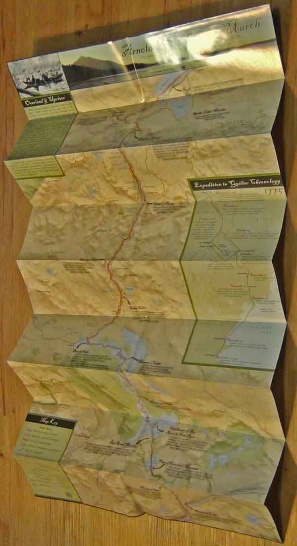
Arnold’s Wilderness March Map & Guide (Unfolded)
$18.00
This unfolded map which is suitable for framing is your guide along the expedition route starting at the Kennebec River following approximately the actual route all the way to Lac Megantic. Shipping cost included in price.
Description
Unfolded Arnold’s Wilderness March Map & Guide, please forgive the folds in the picture. Your map will be shipped to you in a tube and can be rolled out flat with no creases and measures 18″ X 36″.
This unfolded map is your guide along the expedition route starting at the Kennebec River following approximately the actual route all the way to Lac Megantic, Canada roughly 80-miles distance.
The location of the expedition route is base upon local knowledge of the landscape, historical maps and personal accounts. Along the way important expedition way-points are highlighted – often with accompanying entries taken from actual expedition journals written by expedition members.
Before framing the map you’ll want to note that on the back side of the map you’ll find hints and tips for traveling by automobile, hiking or canoeing along the route.
For those driving the route the mileages between way-points are listed out along with directions for viewing specific sites.
For hikers “The Great Carrying Place” portage trail provides a great hike. The approximately 12-mile trail is well maintained, well marked, and mapped out in detail.
If you choose to canoe or kayak two sections of the route are covered. The Flagstaff Lake section outlines a two-day 11-mile trip and the Chain of Ponds section outlines a one-day outing covering about 5-miles.
All in all the map is a compact, informative guide that covers a grueling, 80-mile stretch of rivers, ponds and portages that the Arnold Expedition traversed to reach Quebec.
Related products
-
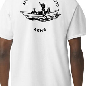
AEHS T-shirt (unisex) two sided
0 out of 5$18.00 – $23.00Price range: $18.00 through $23.00 Select options This product has multiple variants. The options may be chosen on the product page -
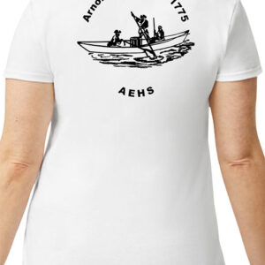
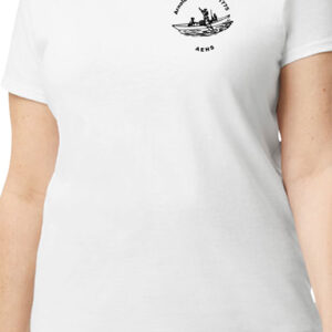
AEHS T-shirt (ladies) two sided
0 out of 5$21.00 – $25.00Price range: $21.00 through $25.00 Select options This product has multiple variants. The options may be chosen on the product page -
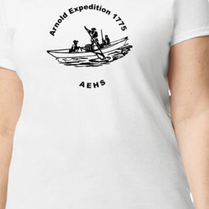
AEHS T-shirt (ladies) one sided
0 out of 5$16.00 – $20.00Price range: $16.00 through $20.00 Select options This product has multiple variants. The options may be chosen on the product page -
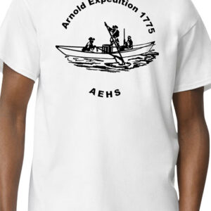
AEHS T-shirt (unisex) one sided
0 out of 5$13.00 – $18.00Price range: $13.00 through $18.00 Select options This product has multiple variants. The options may be chosen on the product page

